No. Under Costa Rica's maritime zone law, all land occupied by mangroves is public zone, whatever its extent, so it is not land a buyer can privately own or develop. If a lot you are considering touches mangroves, treat that part as public and ask your attorney to confirm exactly where the line falls before you sign anything.
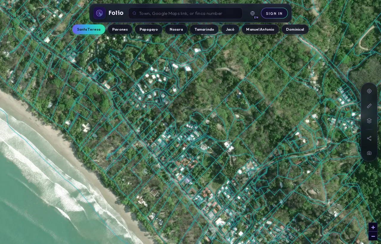
Any parcel, in the Folio app.
Search a town, a Google Maps link or a finca and Folio outlines the registered parcel from the national cadastre, with the maritime line, protected areas and water on top of it, before you call a lawyer or put down a deposit.
The short version: mangroves in Costa Rica belong to the public. The maritime zone law says so directly, and it does not tie the rule to a fixed width. That matters because a lot can look like ordinary coastal land in a listing and still include ground that no seller can transfer to you.
This guide explains what the law says about mangroves, how that rule fits inside the wider maritime zone, and what a careful buyer checks before getting attached to a property near an estuary or tidal channel.
What does the law actually say about mangroves?
The governing statute is the Ley sobre la Zona Marítimo Terrestre, Ley 6043, published in full by the Instituto Costarricense de Turismo (ICT). Article 11 reads: "Zona pública es también, sea cual fuere su extensión, la ocupada por todos los manglares." In plain English: all mangroves are also public zone, whatever their extent.
Two words in that sentence do most of the work. "Todos" (all) means there is no exception for small stands or for mangroves on land that otherwise looks private. "Sea cual fuere su extensión" (whatever their extent) means the public status follows the mangrove itself, not a measurement drawn from the beach.
How does this fit with the 200 metre maritime zone?
To see why the mangrove rule is unusual, you need the basic structure of the zona marítimo terrestre (maritime terrestrial zone). Our plain-English explainer of the maritime zone covers it in depth, but here is the core:
| Part of the coast | Width under the law | What it means for a buyer |
|---|---|---|
| Maritime terrestrial zone (whole strip) | 200 metres from the ordinary high-tide line | Not ordinary titled land; special rules apply |
| Zona Pública (Public Zone) | First 50 metres from the ordinary high-tide line | Public use; not land you acquire |
| Zona Restringida (Restricted Zone) | Remaining 150 metres | Held under concession, not freehold title |
| Mangroves | Whatever their extent | Public zone, like the first 50 metres |
Article 9 defines the whole zone as "la franja de doscientos metros de ancho a todo lo largo de los litorales Atlántico y Pacífico" (the strip 200 metres wide along the Atlantic and Pacific coasts). Article 10 splits it into the public zone, "la faja de cincuenta metros de ancho a contar de la pleamar ordinaria" (the first 50 metres from ordinary high tide), and the restricted zone, "la franja de los ciento cincuenta metros restantes" (the remaining 150 metres).
Knowing those numbers is not enough on its own, and the mangrove rule is the reason. A mangrove does not care where the 50 metre mark falls, and the law follows the mangrove. Where mangroves extend beyond the first 50 metres, the public status goes with them.
Why does this matter if the seller has a title or a concession?
Because paperwork and vegetation are two separate facts, and they do not always agree. A seller may hold a registered title to land that sits beside a mangrove, or a concession in the restricted zone that borders one. Neither document turns the mangrove into something the seller can sell you.
When the drawn boundary of a lot and the mangrove on the ground seem to overlap, you are not looking at a detail to sort out after closing. You are looking at a legal question about what the seller actually has to transfer. That question belongs with your attorney or notary, and it should be answered before money moves.
It also helps to be clear about what "public" means in practice. The public zone is not a strip that buyers receive title or concession over. Ask your attorney to confirm how that principle applies to the specific land in front of you, and whether any other environmental rules also cover the mangrove area.
Tap any coastal lot in the free Folio map to see its maritime-zone flag.
Check it freeCan you fence, clear or build near mangroves?
Not without legal authorization, and in practice you should assume the answer is no until a professional tells you otherwise. Article 12 of the law states: "En la zona marítimo terrestre es prohibido, sin la debida autorización legal, explotar la flora y fauna existentes, deslindar con cercas". In plain terms, without legal authorization it is prohibited in the zone to exploit existing plants and animals, fence it off, build, cut trees or carry out other development.
For a buyer, the practical consequences are straightforward:
- A fence that runs into or around a mangrove is a warning sign, not a feature.
- Cleared ground at the edge of a mangrove deserves a question about when and how it was cleared.
- Plans that rely on building, docking or landscaping in a mangrove area should be checked against the law before you price them into an offer.
A listing that describes "estuary frontage" or "private access to the mangroves" may be describing land the law treats as public, since mangroves are public zone whatever their extent. Read those phrases carefully.
Get the free Costa Rica buyer's checklist
What to ask for, what to pull from the registry and what to confirm on the map before you sign anything. One short email, no spam.
What about foreign buyers and concessions nearby?
If the land next to a mangrove sits in the restricted zone, you are dealing with a concession, and concessions carry their own eligibility rules. Article 47(a) of the law says concessions are not granted "a extranjeros que no hayan residido en el país por lo menos durante cinco años" (to foreigners who have not resided in the country for at least five years).
That rule is about the restricted zone, not the mangrove itself, which is public zone regardless. But the two can appear in the same deal, so it is worth raising both with your attorney. Our guide to buying a beachfront lot without the traps walks through how concessions, titled land and the public zone can sit side by side on the coast.
How do you check whether a lot includes mangrove land?
No single document answers this on its own, so a careful buyer layers several checks. A reasonable order looks like this:
- Look at the ground and recent imagery. Mangroves grow along tidal channels, river mouths and sheltered inlets. If you see them on or beside the lot, assume they matter.
- Compare the cadastral boundary with what you see. The cadastre shows where the lot is drawn. If the drawn edge runs into mangrove vegetation, note it.
- Check where the maritime line falls. Knowing the exact maritime line tells you how much of the lot sits in the zone at all, before the mangrove question even starts.
- Read the registry record. The registered owner and any gravámenes (encumbrances) or anotaciones (annotations) tell you what is registered in the seller's name and against the property.
- Ask about local coastal plans. The ICT's maritime zone programme pages are the starting point for coastal plans and regulations that may affect the area.
- Put the findings in front of your attorney. Records show what is registered. An attorney or notary tells you what it means for your purchase.
Folio's free map lets you tap a lot to see its cadastral boundary, area, perimeter and a maritime-zone flag. That flag is useful for a first look, but a map flag cannot tell you whether mangrove vegetation is actually growing on the ground.
For the registry side of the picture, the $29 verified report is a human-checked title and records search covering the registered owner, liens, easements, nearby rivers and wells and the mapped maritime zone, delivered within 24 hours. Neither the map nor the report replaces a site visit or legal advice.
What does this look like across the coast?
Mangroves can appear behind a beach or along a river that looks far from the sea, not only at the water's edge. For the wider picture of how coastal land is recorded, see our 2026 study of Costa Rica's maritime zone.
The takeaway is simple. If there are mangroves, that land is public. Find out where they are, find out where the maritime line is, and get your attorney's view on what the seller can actually transfer before you commit.
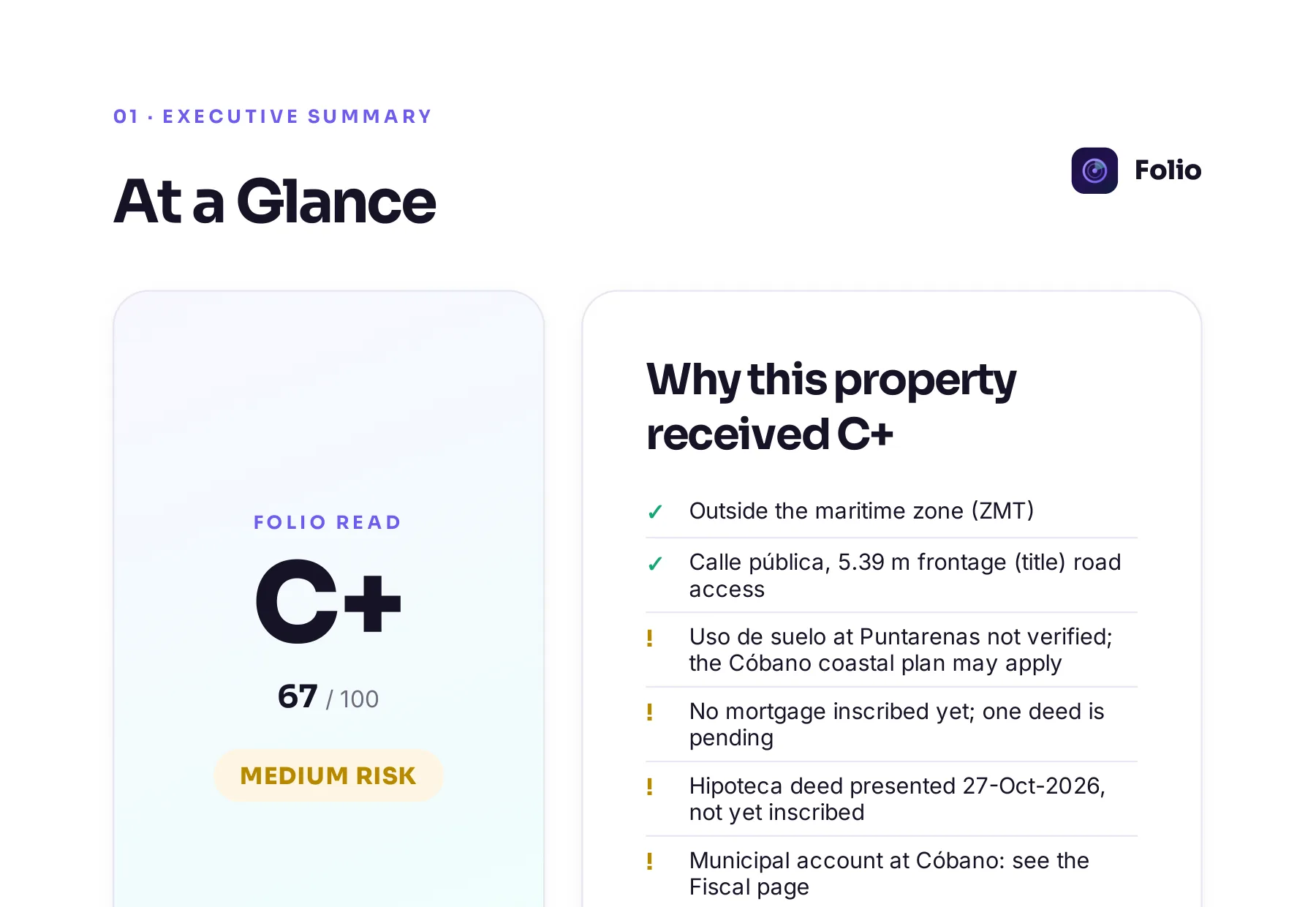
Know what you're buying before the deposit.
Most problems with a lot don't show up in the listing, and often the seller doesn't know about them either. Folio lets you find them now, before you pay a lawyer to start the purchase.
Frequently asked questions
Are mangroves always public in Costa Rica, even far from the beach?
The maritime zone law says all mangroves are public zone, whatever their extent. The rule follows the mangrove rather than a fixed distance from the high-tide line. Ask your attorney how it applies to the specific location you are considering.
Can I get a concession over mangrove land?
Mangroves are public zone, not the restricted zone where concessions are held. You should not expect to acquire mangrove land through a concession or a title. Confirm the details for any specific lot with an attorney or notary.
Can I put a fence or a dock in the mangroves next to my lot?
The law prohibits fencing, building, cutting trees and similar development in the maritime zone without legal authorization. Treat any plan that touches the mangroves as off limits until your attorney confirms otherwise. Existing fences or clearing in a mangrove should prompt questions, not reassurance.
Does a registered title mean the mangrove part of the lot is private?
Not necessarily. A title and a mangrove on the ground are separate facts, and the law makes mangroves public whatever their extent. If the two appear to overlap, have your attorney review it before you sign or pay anything.
Will a records check tell me if there are mangroves on the lot?
Records show boundaries, ownership, encumbrances and where the maritime line falls, which are essential. They do not reliably show vegetation, so combine them with a site visit and recent imagery. Your attorney can then advise on what the combined picture means.
Sources
- Ley sobre la Zona Marítimo Terrestre, Ley 6043 (full text published by ICT), Instituto Costarricense de Turismo (ICT)
- Zona Marítimo Terrestre (maritime zone programme, coastal plans and regulations), Instituto Costarricense de Turismo (ICT)
Educational, not legal advice. Folio reports what public records show; it does not replace a licensed Costa Rican attorney, notary or surveyor. Confirm material facts with them before any transaction. Photos are illustrative.