
3D Terrain and Flyover
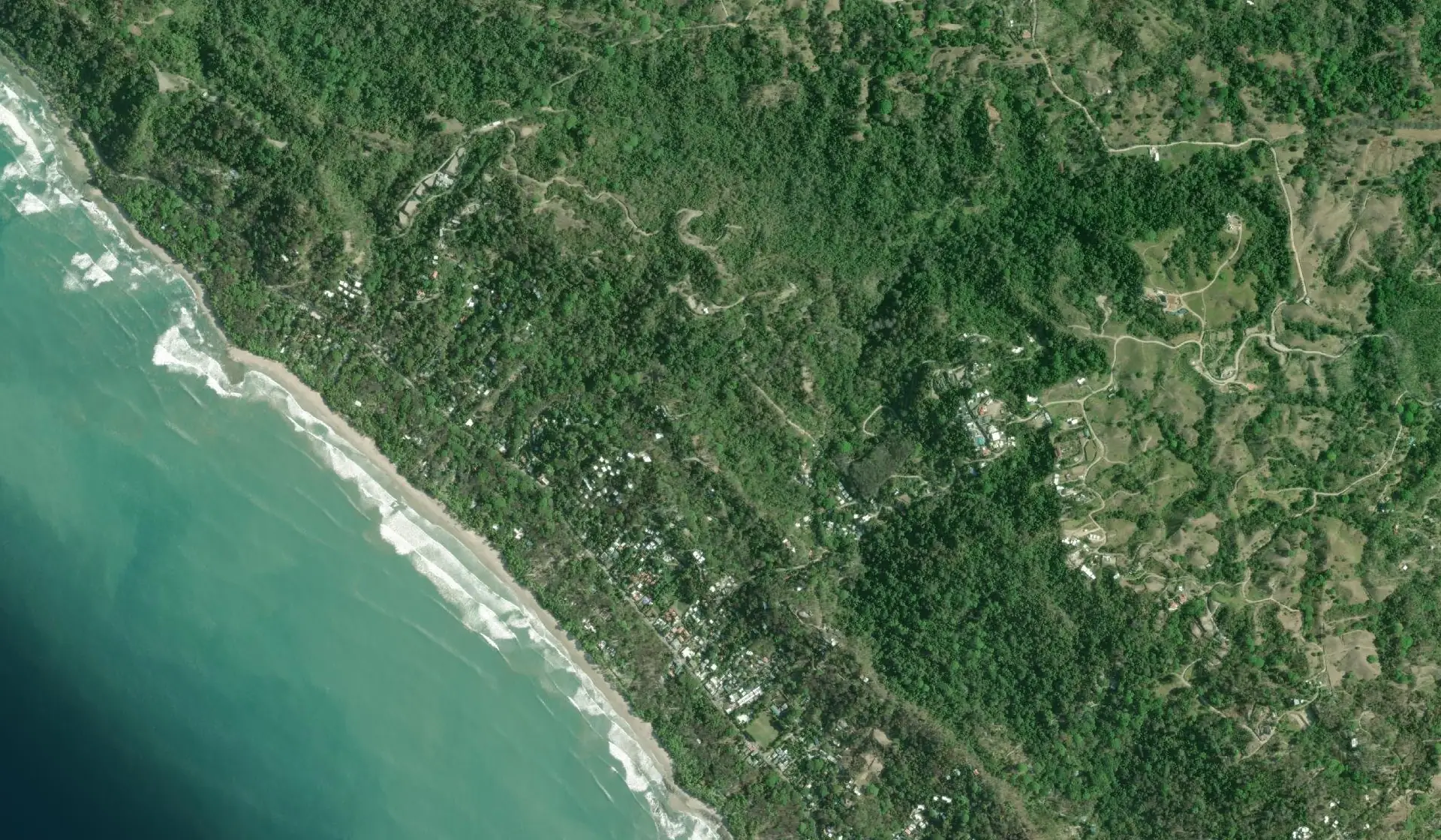
See the ocean view hillsides in 3D from official elevation data, then let the camera orbit the land.
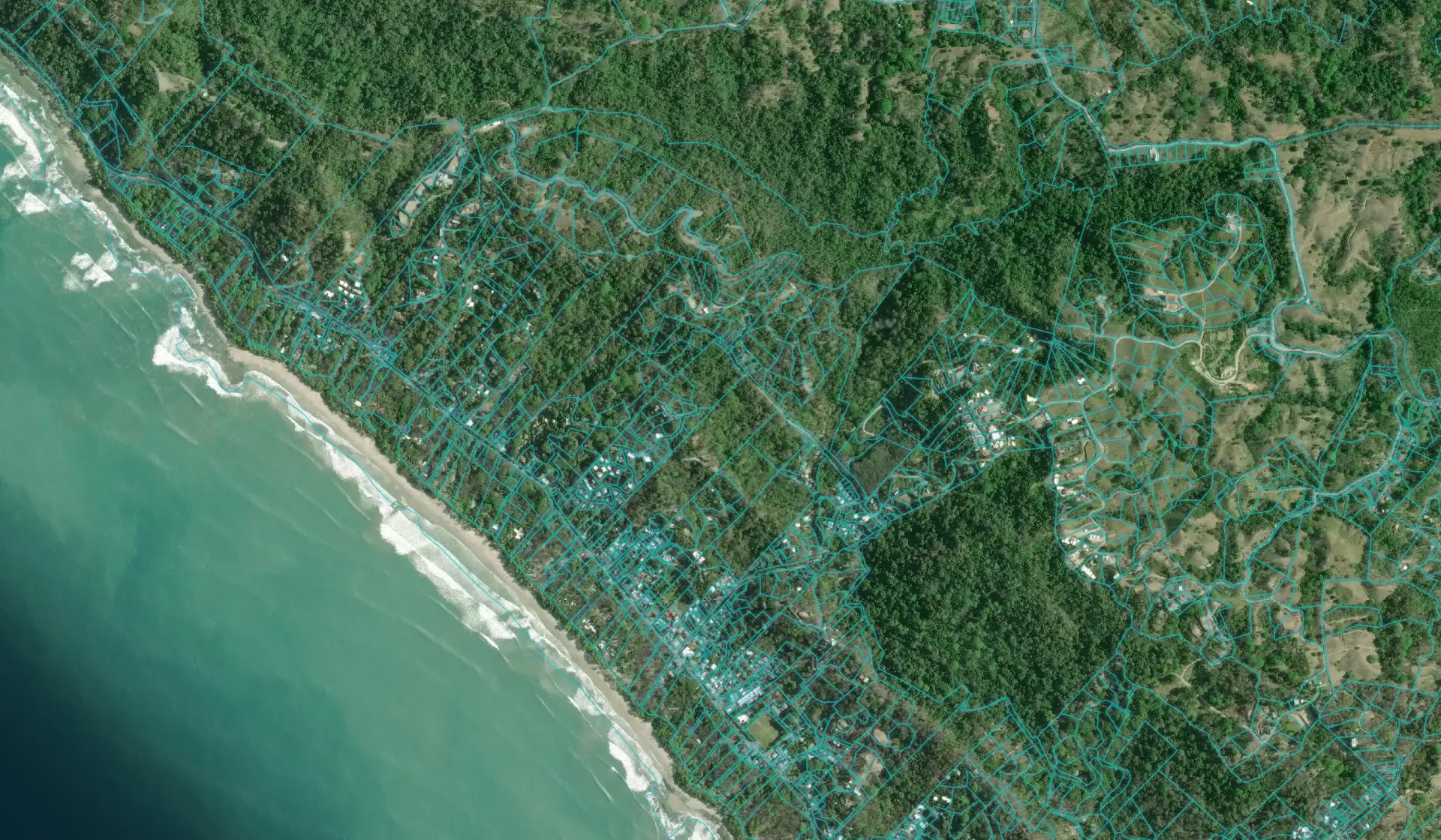
Run the real numbers, then look under the listing photos: parcel lines, flood risk, protected areas and more, on one free map.
Free to use, no sign up. Enter your email only if you want your results as a PDF.
 Free
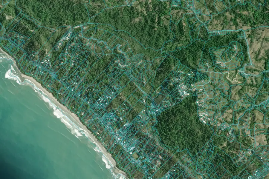
Tap any lot on the map to see its finca number, parcel outline and maritime zone flag, straight from the National Registry.
Check a property Free
Enter a price and see every closing fee: transfer tax, stamps, notary and legal. Includes a seller net sheet and a PDF.
Calculate closing costs Free
No bank needed. Set the price, down payment, rate and term to see your monthly payment and what the deal really costs.
Model your payment Free for investors
Long term or Airbnb: see gross yield, cap rate, net income and a five year projection on any rental property.
Run the numbers Free
The price is one number, owning is another. See property tax, luxury tax, corporation upkeep, insurance and management, itemized.
See yearly cost Free
Planning to build? Get a per square meter price by finish level, plus pool, terrain, permits, design and contingency.
Estimate the build Free, 60 seconds
Answer five questions and see which owner financing structures realistically fit your budget, down payment and timeline.
Find your matchEleven layers from official Costa Rica government records, free inside the Folio map. Tap one to see what it shows.
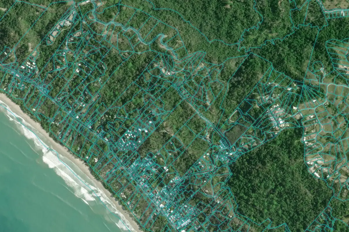
Official Registro Nacional lot lines (SIRI): the registered shape of every parcel.
Source: Registro NacionalSample views. Coverage depends on what each agency has mapped, so an empty area on a layer does not clear a property. Imagery by Esri.
See the ocean view hillsides in 3D from official elevation data, then let the camera orbit the land.

What you can build on a lot: maximum footprint, setbacks and common Costa Rica rules. An estimate, your municipality sets the final numbers.

Measure a boundary, drop a pin, and draw a ring for the maritime 200 m, public 50 m, river 15 m or road 6 m distance.
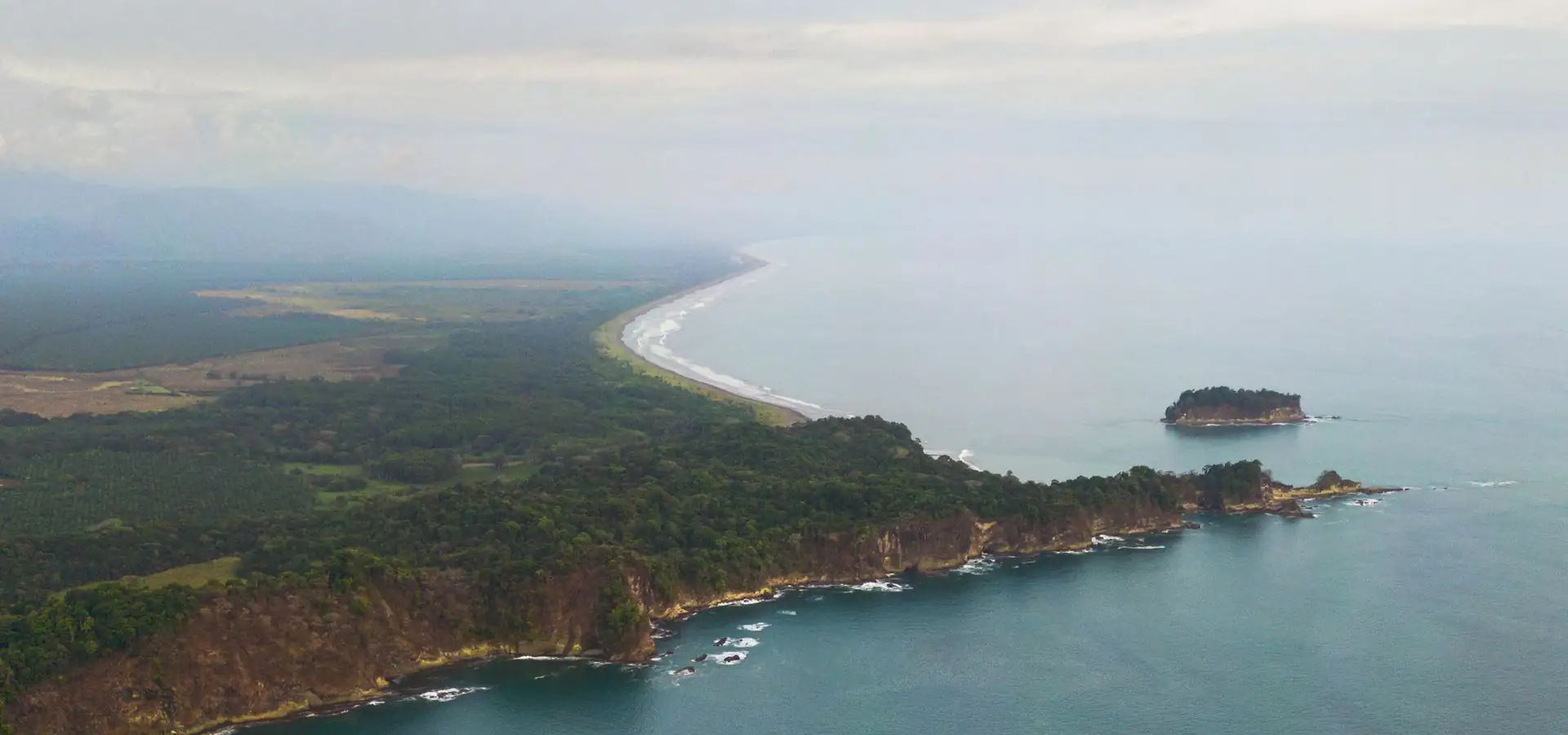
Not a faceless app. We are based in Santa Teresa, and a person answers at hello@foliocostarica.com.
Clear estimates with the assumptions shown, no hidden fees, no fake urgency, no pressure.
Run the tools, then order the official documents for the property you want to buy.
Folio puts Costa Rica's official land records in your pocket.